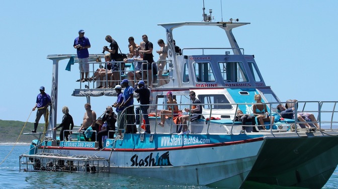
From 2011 to 2012 several great white sharks were tracked in the area surrounding Dyer Island in Gansbaai, South Africa.
We manually tracked these sharks to understand how they use the complex habitat of the area, collecting data to create habitat maps called- Utilization Distributions, or localized home ranges.
However, the process used to analyse this data (known as a Kernel) has a few limitations.
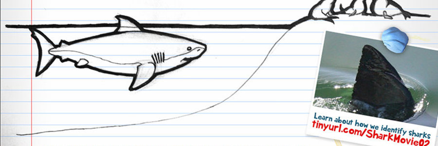
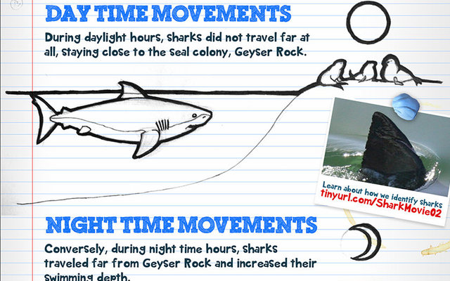
Check out the infographic
By authors Oliver Jewell (MSc) and Michelle Jewell (MSc) with the help of creative agency EDNA


